A trip to San Antonio always delivers—especially because the city’s parks, natural areas, and greenways weave seamlessly throughout. Among them, Dwight D. Eisenhower Park stands out on the north side, offering a perfect spot for hiking, walking, and picnicking.
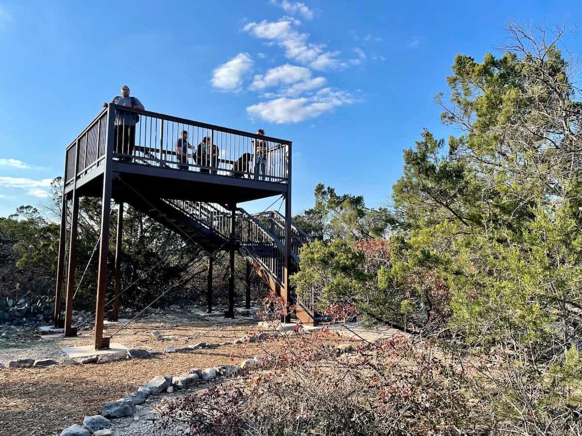
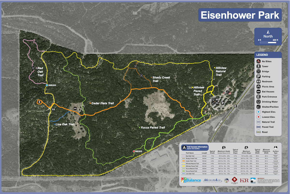
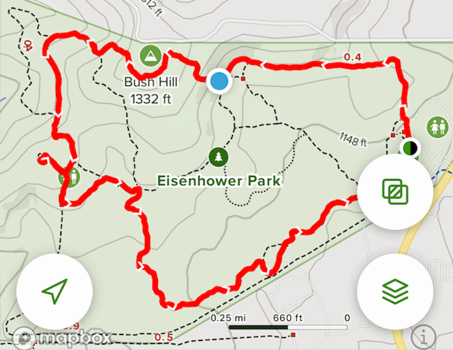
Not only does the park cover more than 300 acres, but it also features nearly six miles of scenic trails through native Texas vegetation. While no single trail exceeds 2.6 miles, you can easily combine routes to create a longer hike. In addition, the park’s elevated observation tower provides stunning views of San Antonio and the surrounding Hill Country.
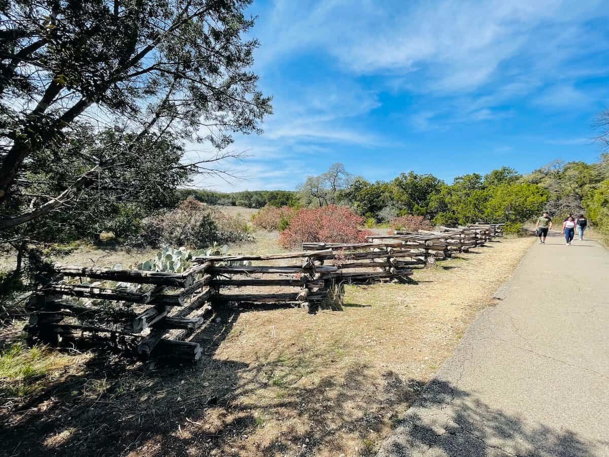
Furthermore, Eisenhower Park connects to the Leon Creek Greenway, which allows cyclists to pedal in from other parts of the city. Meanwhile, clearly marked trail levels help visitors plan their route. You can choose a flat, paved Level 1 path for an easy walk, or challenge yourself with a rocky, hilly Level 4 climb. Ultimately, the variety of terrain ensures that everyone—from casual walkers to avid hikers—can enjoy a memorable outdoor adventure.

Admission
- FREE 😃
- Your leashed dog is welcome to join you. 🐶

What You’ll Find at Eisenhower Park
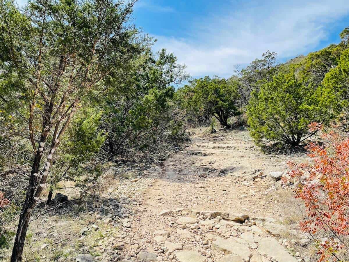
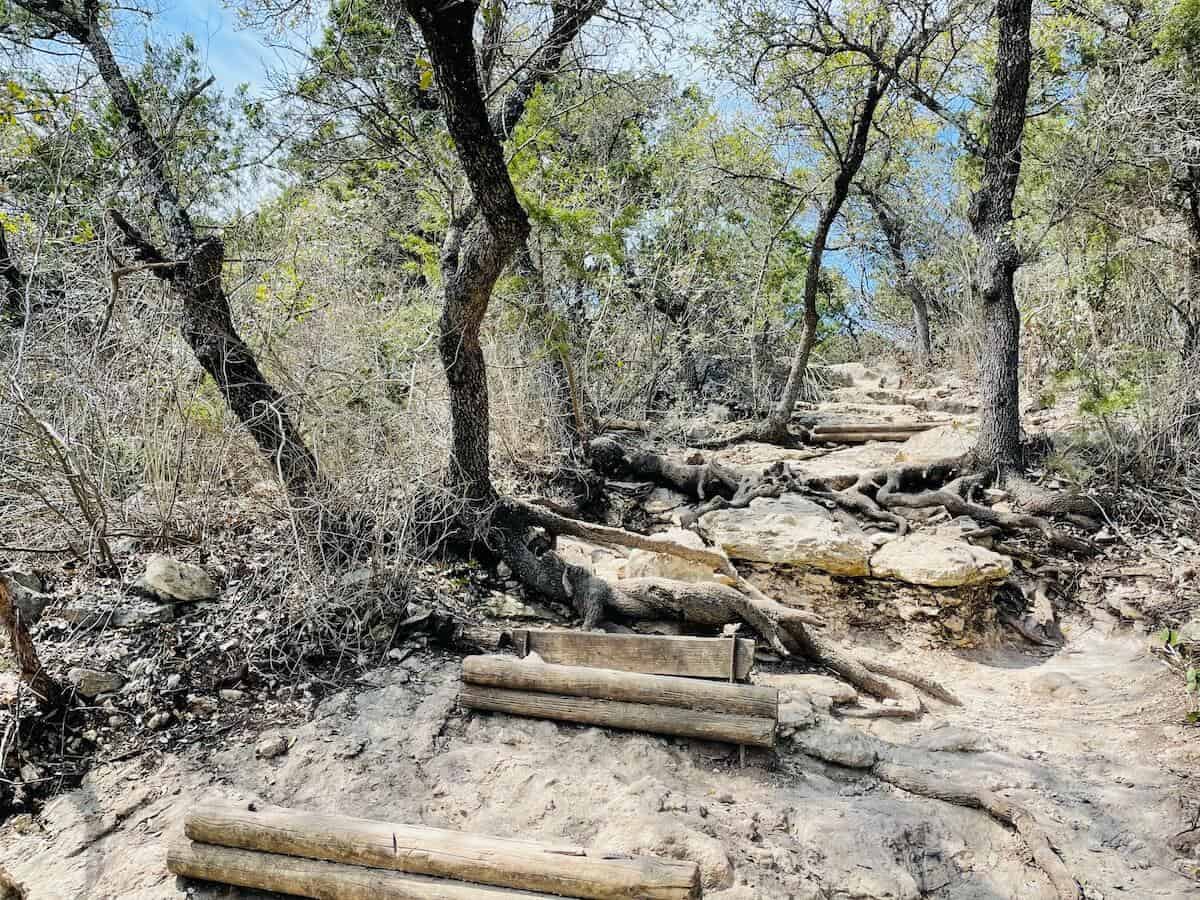
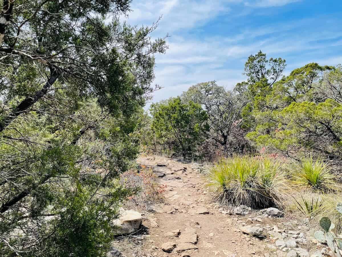
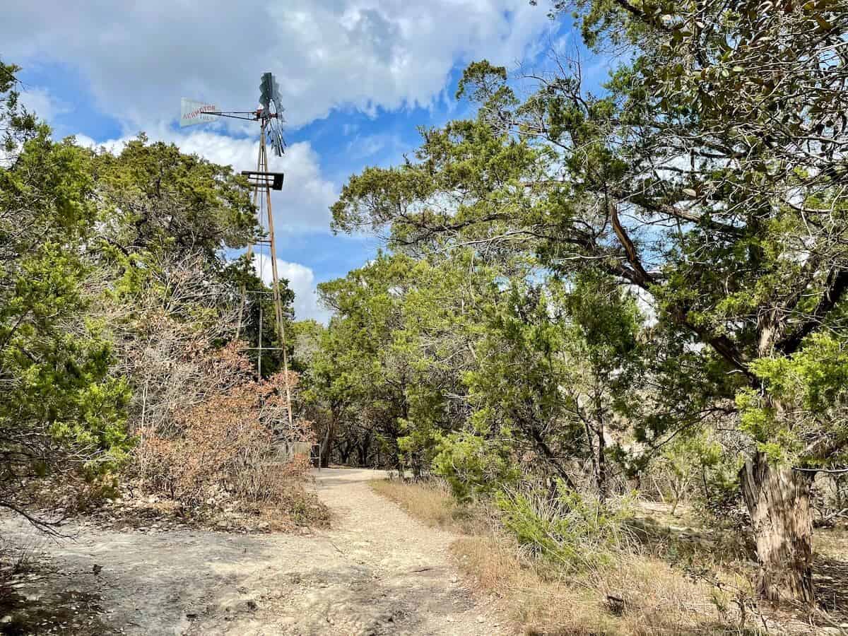
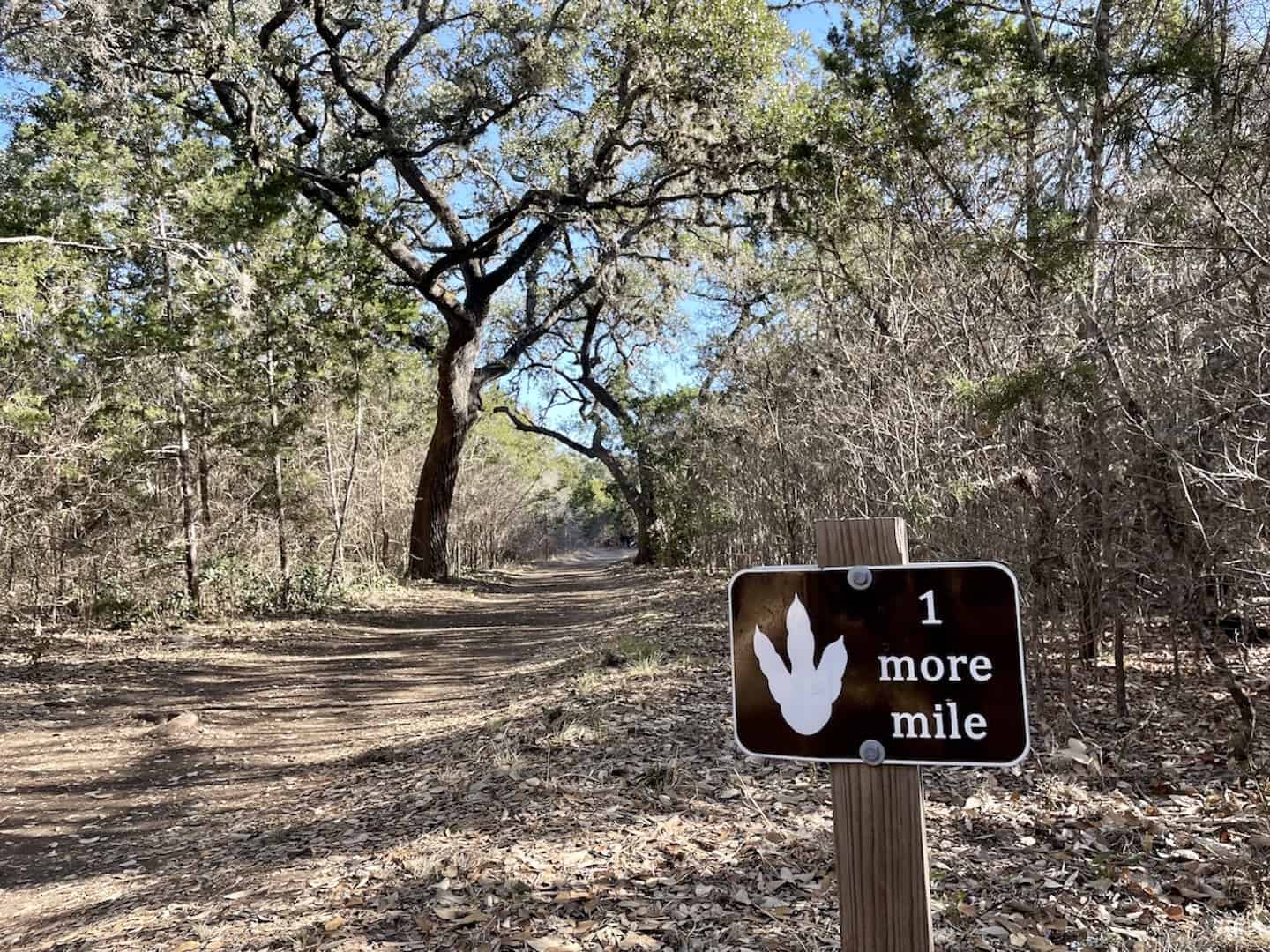
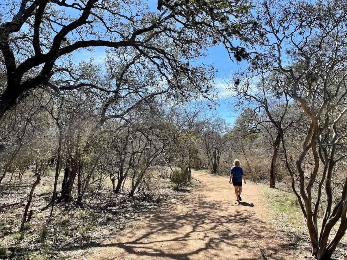
- about 6 miles of well-maintained, well-marked trails offering a variety of terrain. You can choose paved trails or “natural” trails that have loose rocks, boulders, and logs to traverse. I hiked along Hillview Natural Trail (hilly and rocky, the most challenging), Yucca Natural Trail (less hilly, a bit rocky), Shady Creek Trail (slight elevation, shady path through woods), and some of the paved trails like Cedar Flats Trail (uphill paved trail, a direct route to observation tower).
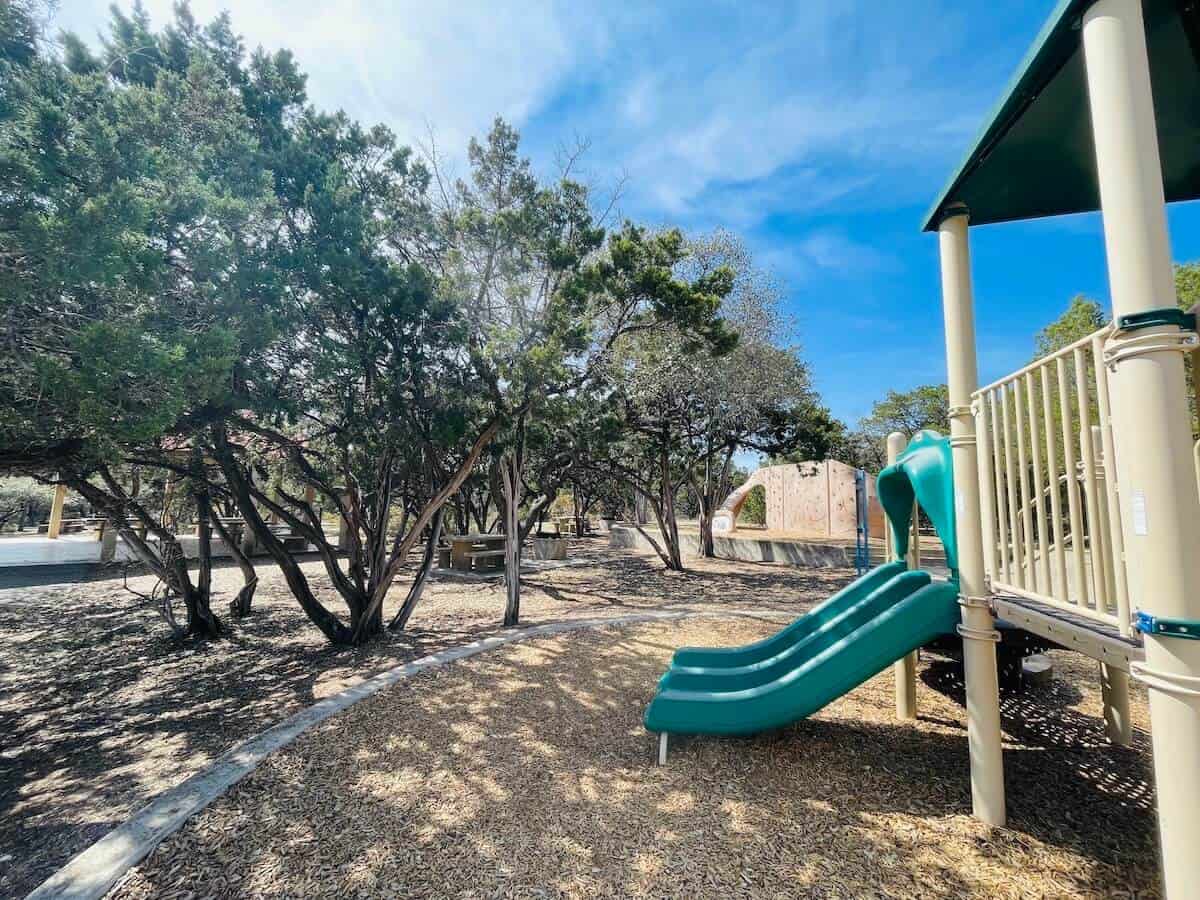
- a small playground and climbing wall.
- an observation tower atop the hill — accessible by taking the paved Cedar Flats Trail or the unpaved Hillview Natural Trail. Climb the tower for 360-degree views, including downtown San Antonio.
- picnic areas with tables and grills and a large pavilion by the parking lot.
- several wooden bridges over areas that could retain water.
- restrooms.
Location
Eisenhower Park: 19399 NW Military Highway, San Antonio, TX
Park Map
Accessibility Signage
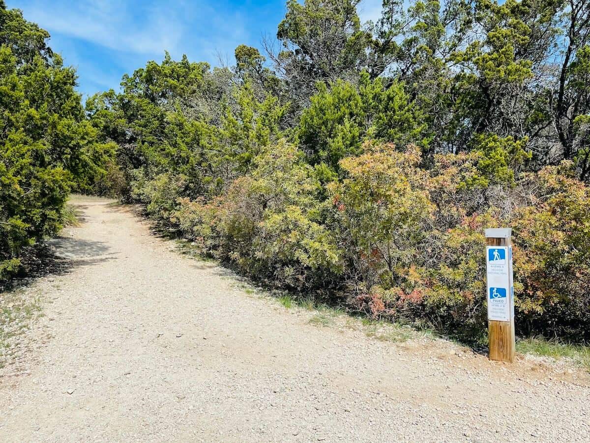
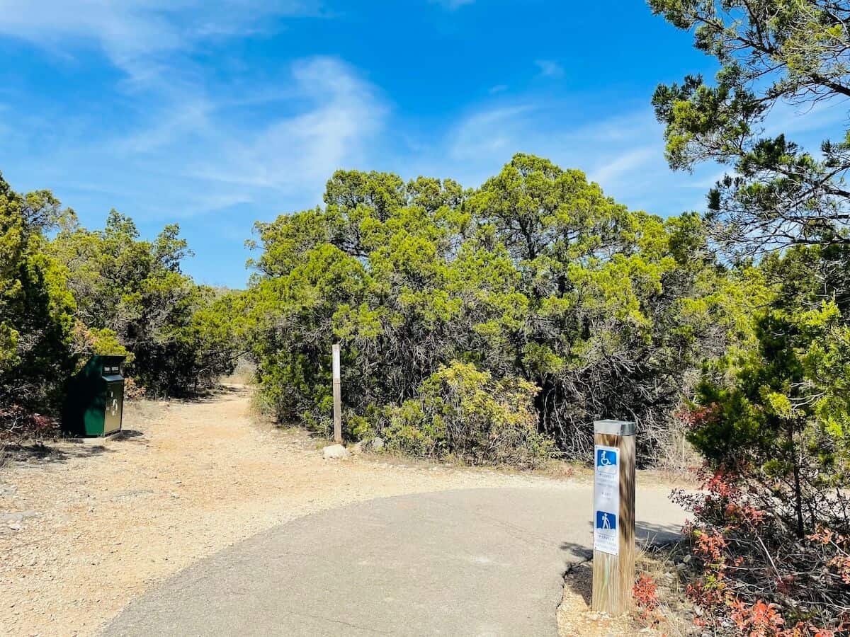
Trail signs throughout the park note which of the four terrain levels is ahead. The 4 levels are:
1: The easiest trails that may have gentle slopes. These trails meet ADA standards.
2: A bit more challenging with some slopes, these trails have no handrails.
3: These unpaved trails have steeper slopes, and there are no handrails.
4: These are unimproved dirt trails, and the most challenging. They are not designed or suggested for those in wheelchairs.
Tips for Your Visit
- The park is open from 6:00 am to sunset.
- Arrive early on the weekends to beat the crowds. Fewer people make your time there more enjoyable.
- Wear sunscreen and bug spray.
- Wear comfortable walking shoes and a hat (for protection from the sun).
- Consider bringing trekking poles if you plan to hike the rocky, hilly Hillview Natural Trail.
- The All Trails app (free) can be handy when hiking. I use it to figure out how far along I am on a trail and where I am relative to other trails.
- Bring plenty of water (and maybe snacks, too). There are no concession stands.
- Restrooms, picnic tables, and a small playground are near the parking lot. There are no facilities on the trails.
- Stay on the trails. Signage at the trailhead warns visitors that coyotes, snakes, bobcats, and feral hogs may be on the property. The same signage also suggests that you hike with others, although I did see several solo hikers, and I was one, too. (I’m assuming any wild animals are more active in the early morning and at dusk, but I hiked in the late morning and felt safe.)
- Bicycles are not allowed on the trails.
- No glass containers or alcohol are allowed.
- Leave no trace. Take any trash you have with you when you leave.
Brief History of Eisenhower Park
The park was once part of the adjacent Camp Bullis training ground. In 1988, it opened as a public park named after a Texas native, President Dwight D. Eisenhower, the 34th president of the U.S.
Nearby Attractions
Eisenhower Park is a beautiful spot with lovely trails. And there are others to consider nearby. So many choices!
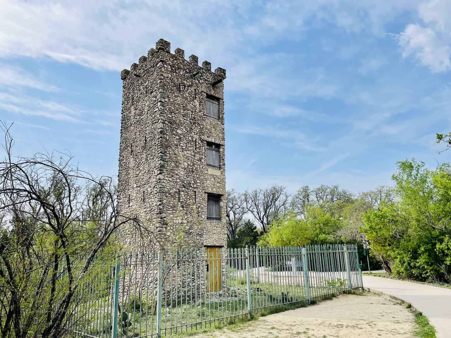
Comanche Lookout Park
Comanche Lookout Park is a 96-acre, dog-friendly park with historical roots and about five miles of hiking, walking, running, and biking trails that wind up and around a hill. Atop the hill is a 30-foot-high medieval-style stone tower built in the 1920s and some interesting public art installations that honor the native people who lived on the land thousands of years ago.
Friedrich Wilderness Park
Friedrich Wilderness Park, 9 miles away, offers plenty of walking and hiking trails — choose mostly flat trails or more challenging ones with rocky and hilly terrain. What sets this park apart is that it’s a nature preserve dedicated to conservation and providing sanctuary to endangered species. You’ll find lots of natural, wild Texas landscapes here.
Government Canyon State Natural Area
With over 40 miles of hiking and biking trails, Government Canyon State Natural Area has lots of natural Texas landscape to trek through along with dinosaur tracks dating to over 110 million years ago. There are plenty of trail options that offer varying ability levels.
Hardberger Park
Hardberger Park is about 7 miles away and offers a completely different walking/hiking experience. There you’ll find mostly flat trails that meander around trees and vegetation. What sets Hardberger Park apart from others is the unique land bridge that spans a roadway, the elevated SkyWalk, along with recreation fields and basketball courts. There are two entrances — each with its own parking lot, picnic areas, restrooms, large playgrounds, and dog parks. It seems like there’s something for just about everyone here.
Downtown San Antonio
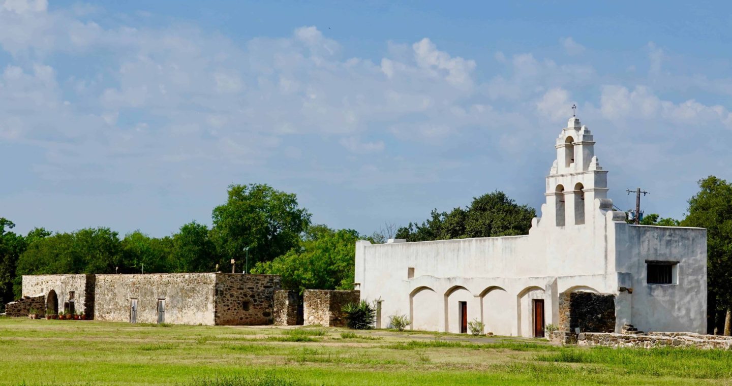
Head downtown! Besides hiking, there’s plenty to explore in San Antonio. Consider the River Walk, The Pearl, the Alamo, the other Spanish missions from the 1700s, the museums, the botanical garden, and other great parks. Use this guide to help plan your time in San Antonio.
Final Thoughts
Eisenhower Park offers an enjoyable walking/hiking experience for people of all fitness levels and interests. Choose from paved, flat trails or challenge yourself to hilly, rocky terrain. This is the place to appreciate a natural south Texan landscape while exercising. 🌵
Comments?
Please share your experiences and/or suggestions for fun outdoor spaces in San Antonio. Your ideas could be helpful to other travelers. Thanks! 🙂


Eisenhower Park is now connected to The Rim through the greenway system
Oh, thanks for the update, Lauren!