“The fortunes of war have made me your prisoner,” stated British General John Burgoyne as the British surrendered to the Continental Army after the two battles of Saratoga in 1777. The British tried to suppress the American colonists who had already declared independence from the British crown a year earlier. Burgoyne’s original plan was to isolate the rebellious northern American colonies from the calmer others. That plan was to advance from Canada into New York and take control of the Hudson River. The Americans foiled his plan and won a decisive victory at Saratoga. Two battles were fought (September 19 and October 7, 1777) at what is now the Saratoga National Historical Park. It is located a few miles from Saratoga Springs, New York. Today you can visit, imagine this space in the time of war, and reflect on a crucial point in American history.
Touring the Battlefield
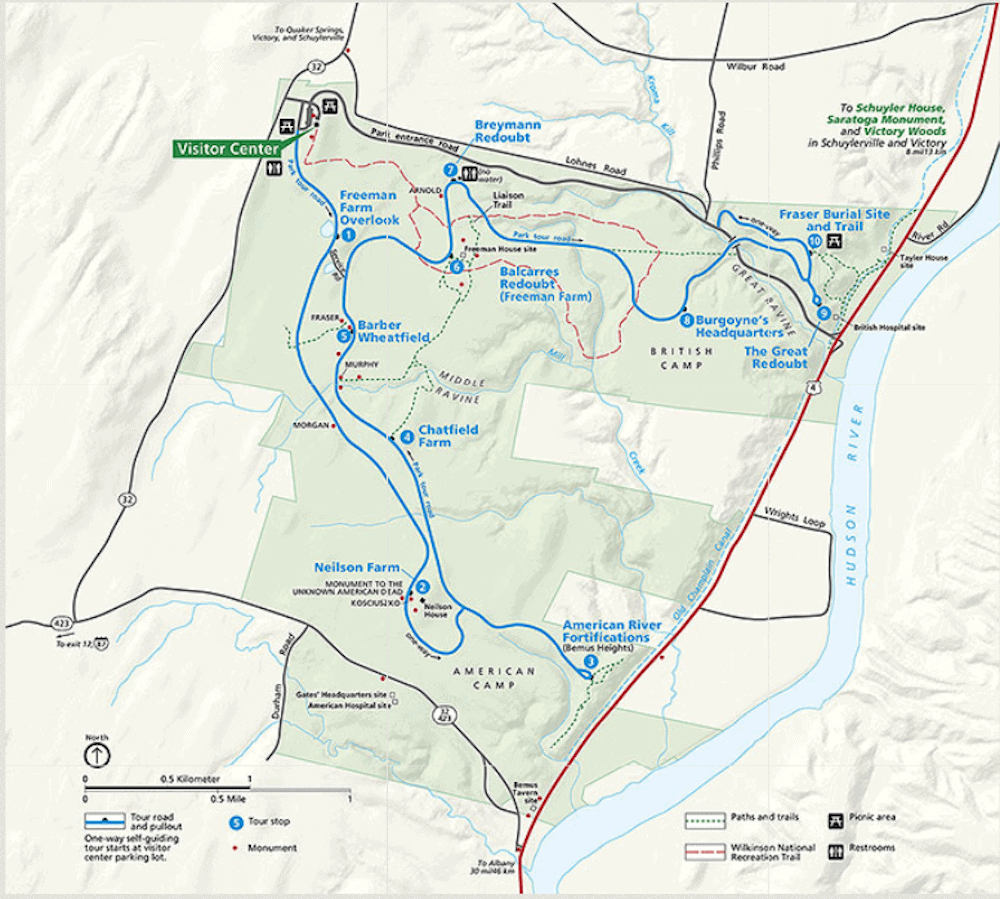
The best way to fully appreciate the history that unfolded here is to take the auto tour, driving to each of the 10 stops within the park. As you go, be sure to listen to the narrations provided by the National Park Service, which maintains the property. In addition, stepping out of the car and walking around each site allows you to better understand what the British and Americans planned—and later endured.
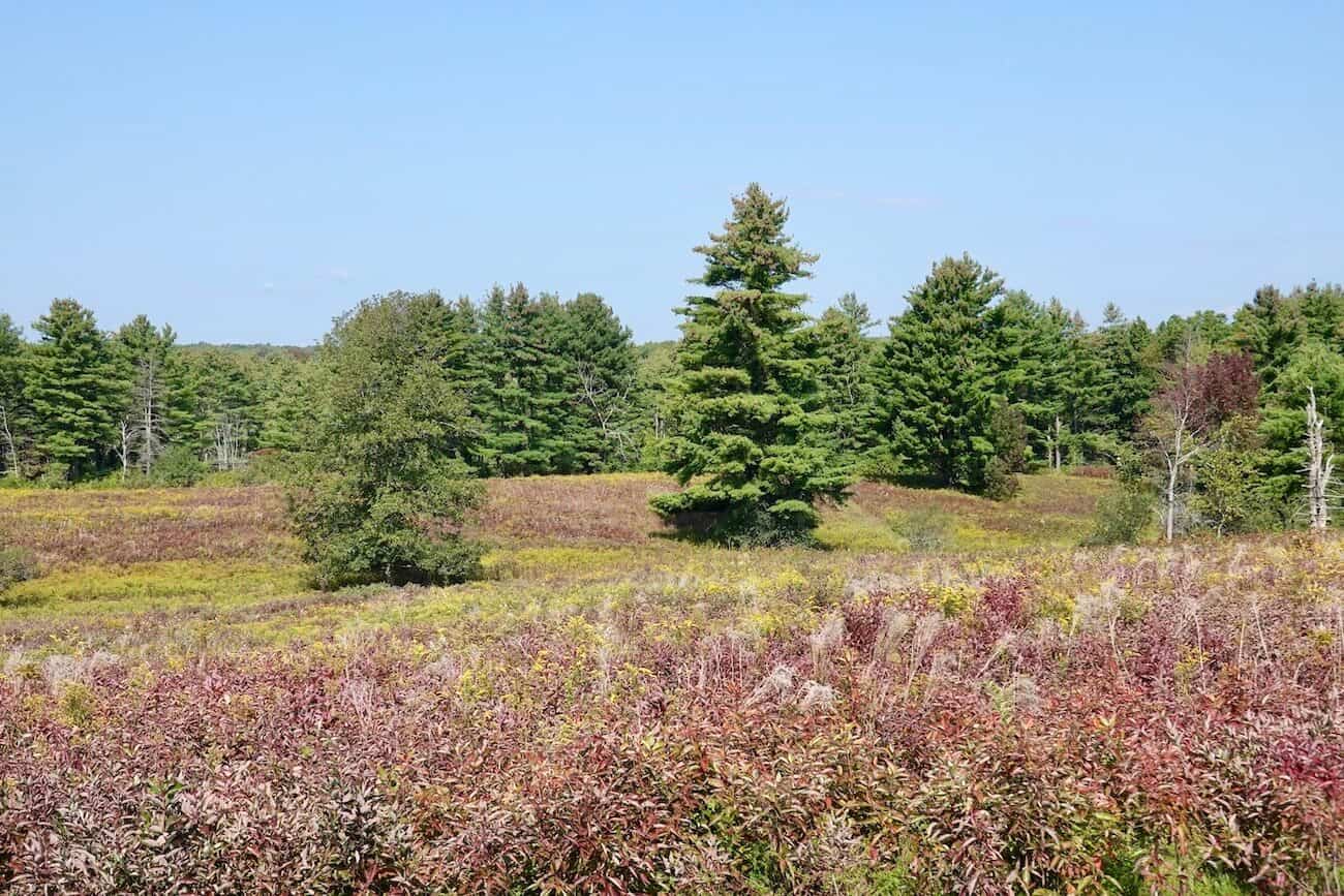
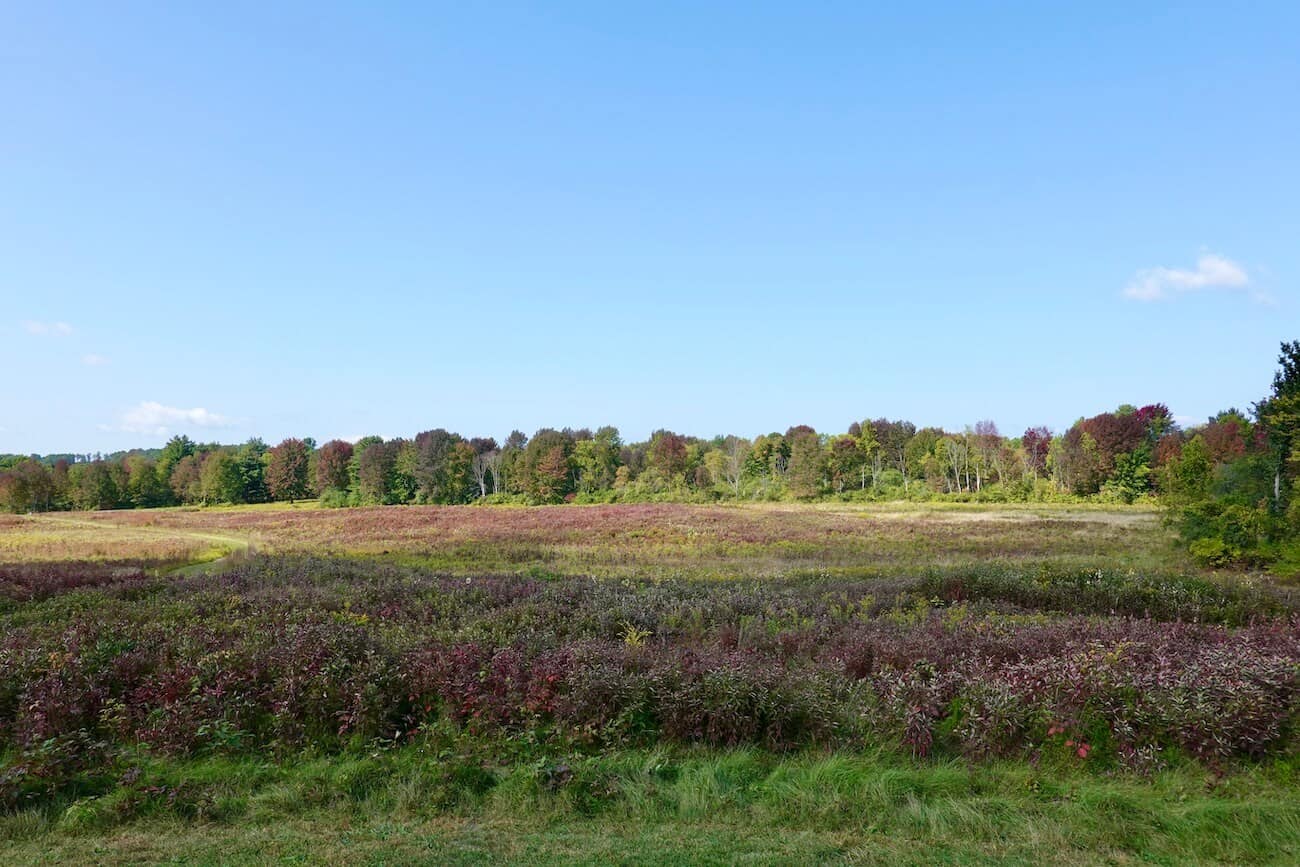
Along the way, you’ll also encounter several memorials honoring the people who played instrumental roles in the conflicts. Furthermore, the battlefield is carefully maintained to resemble the conditions after the battles concluded in 1777. This attention to detail helps you visualize where the bluffs stood, where each side encamped and fortified their positions, and where soldiers could take cover, giving you a much clearer sense of the events that unfolded here.

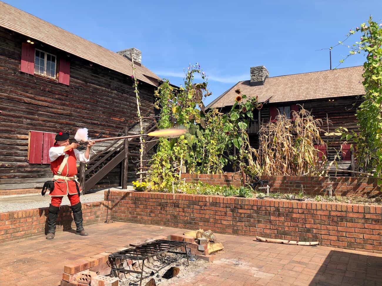
Blue Posts/Red Posts: As you drive through the battlefield, you’ll notice white wooden posts topped with either a blue stripe or red stripe. The blue-topped posts denote the boundaries of the American positions; the red (now a faded pink) denote British positions. These posts give the visitor a good visual understanding of how heavily fortified each side was. These defensive positions included entrenchments, horizontal logs with earth packed on the side, and a barricade of felled trees with their trunks sharpened (a similar effect of today’s barbed wire), pointing outward toward the enemy.
Stop #1 Freeman Farm
Fighting between the British and Americans began here on September 19, 1777. (John Freeman, a farmer who was also a Loyalist, left the farm to fight for the British crown.) What followed here was a struggle between some of Burgoyne’s troops and American Continental Army forces. The military advantage switched from British to American throughout the day, but at its conclusion, the British held the upper hand, holding the field. Having held off the Americans, Burgoyne decided to wait for reinforcements before mounting another campaign to defeat the American Continental Army and subdue this area of New York for the Crown.
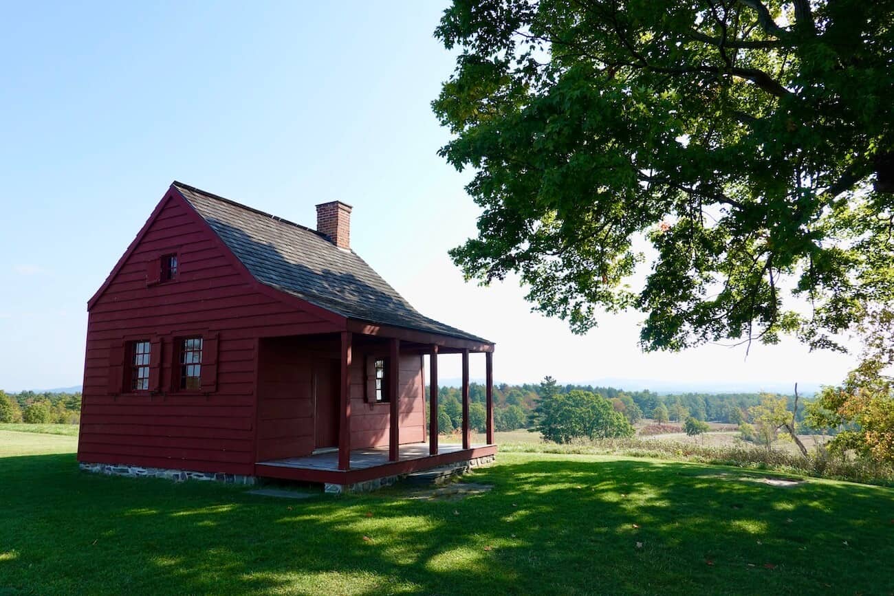
Stop #2 Nielson Farm House
This farm was a key encampment for some American troops. In fact, the Nielson farmhouse was occupied by two American generals including Benedict Arnold. (At the time John Nielson was serving in the British military, and his wife left the area to escape the fighting.) Look for the blue-topped posts here indicating the American’s line of defense.
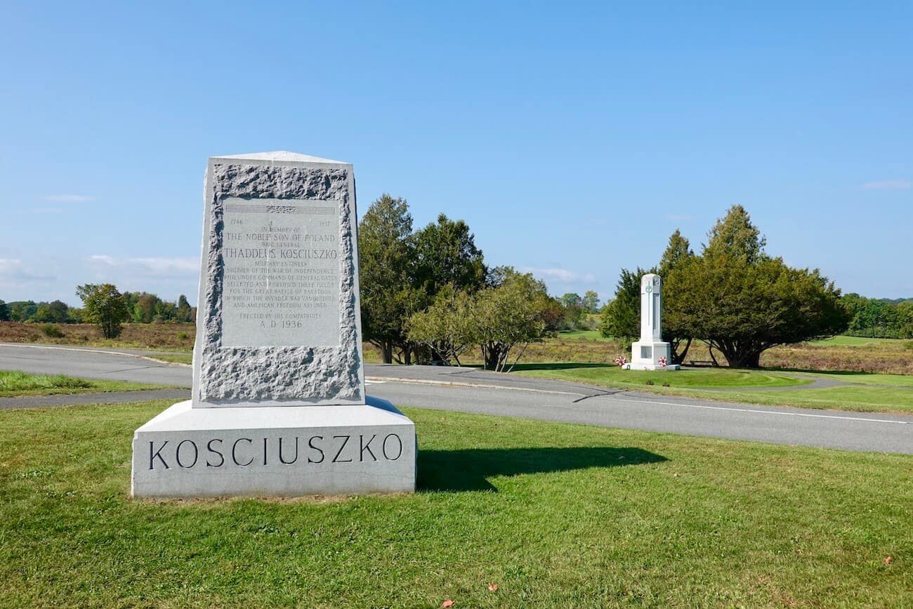
A short walk from the farmhouse stands a monument to Thaddeus Kosciuszko, a Polish military engineer, who designed and oversaw the construction of the fortifications that supported the American entrenchments and lines. Across the road is a memorial to the unknown who died fighting in the Saratoga battles.
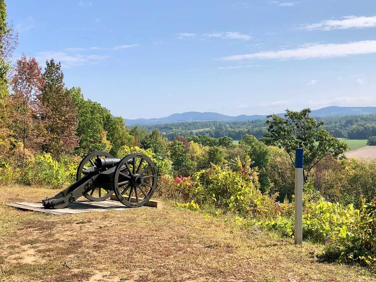
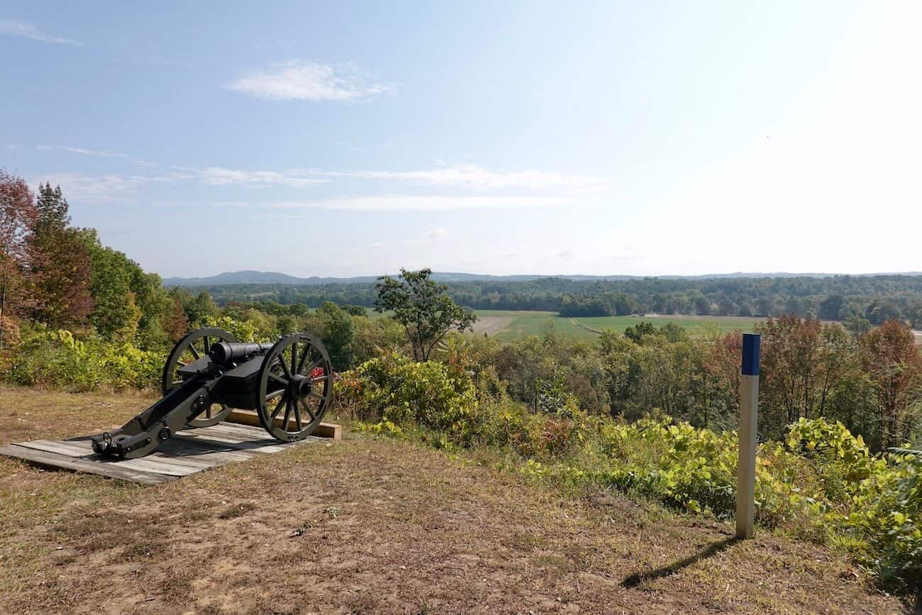
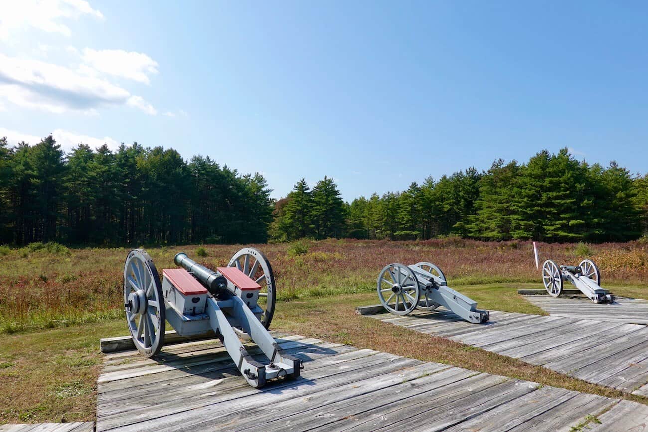
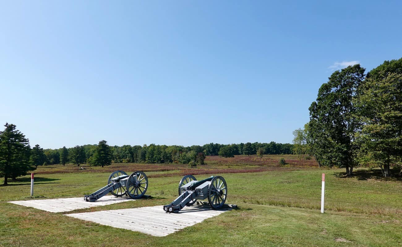
Stop #3 Bemis Heights (American River Fortifications)
This site allows you to really take in how impressive the American fortifications were to defend the road to Albany that the British were planning on traveling. There are blue-topped posts designating the Continental Army’s line of defense with some cannons positioned as they would have been at the time of the battles.
Driving from this stop to #4, pause (if you can) when you see the Nielson farmhouse. Here you can see the advantage of being on the high ground surrounded by Kosciuszko’s designed defenses. (Notice the long line of blue-topped posts and the farm up ahead on the hill). Clearly, the Continental Army had devised a strong defensive position.
Stop #4 Asa Chatfield Farm
This farm was the site of some skirmishes between the Americans and the British. Burgoyne’s reinforcements did not appear as expected (General Howe went south to Philadelphia, and Colonel St. Leggier was stopped in the west). This was the point where Americans saw the British start to advance in large numbers.
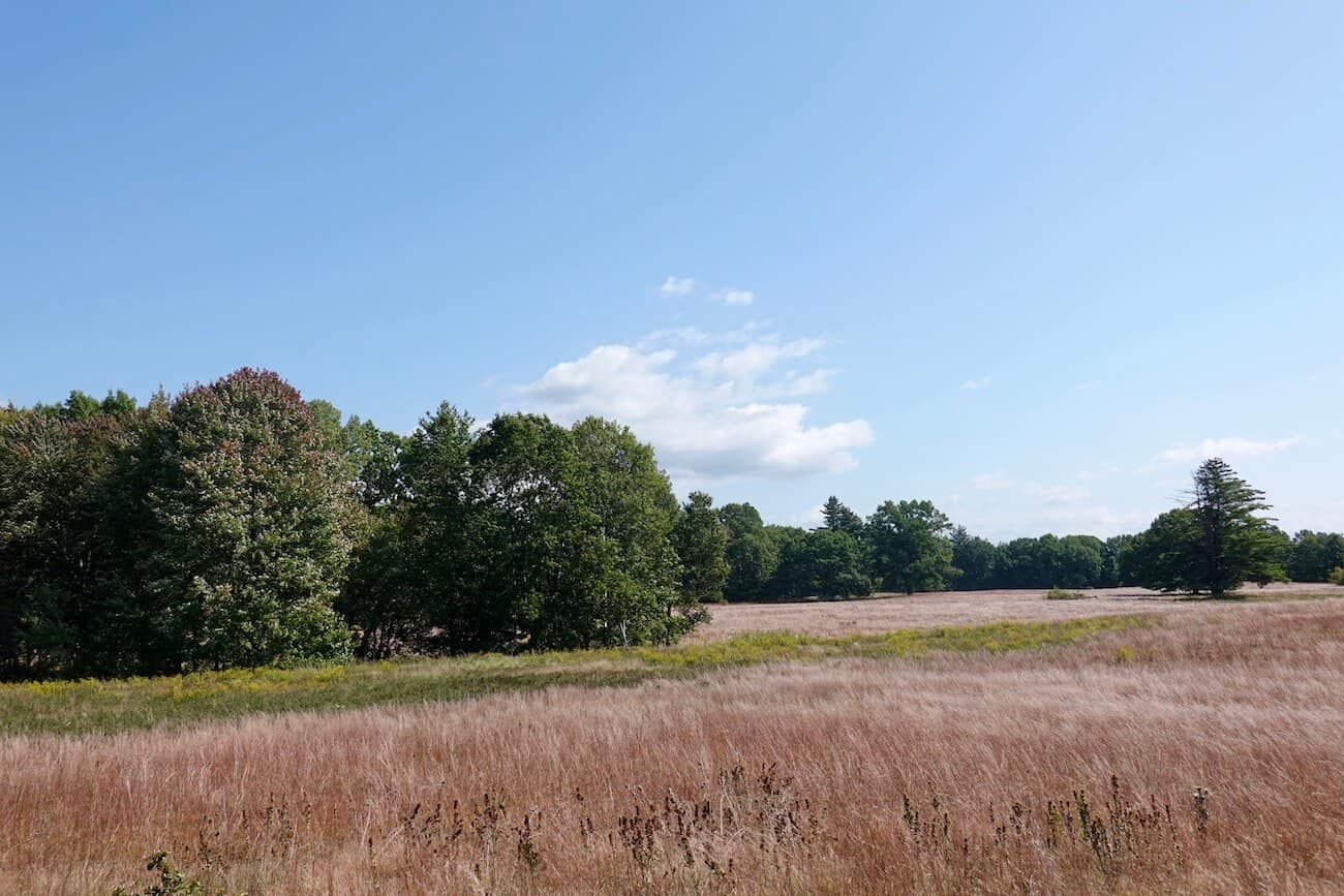
Stop #5 Barber Wheatfield
It was here on October 7, 1777, that the second battle of Saratoga occurred. American forces came upon 1,500 British (and German) soldiers who were aggressively probing the Patriots’ defensive positions. After an hour of fighting, Burgoyne’s unit retreated. The British lost General Fraser who was killed here that day.
Stop #6 Balcarres Redoubt (Freeman Farm)
Named for Lord Balcarres, a British commander, this is where the British built a fort after the first battle on September 19. After being driven from the Barber Wheatfield, the British retreated here. The redoubt is outlined by red-topped posts that outline the area where British defenses once stood.
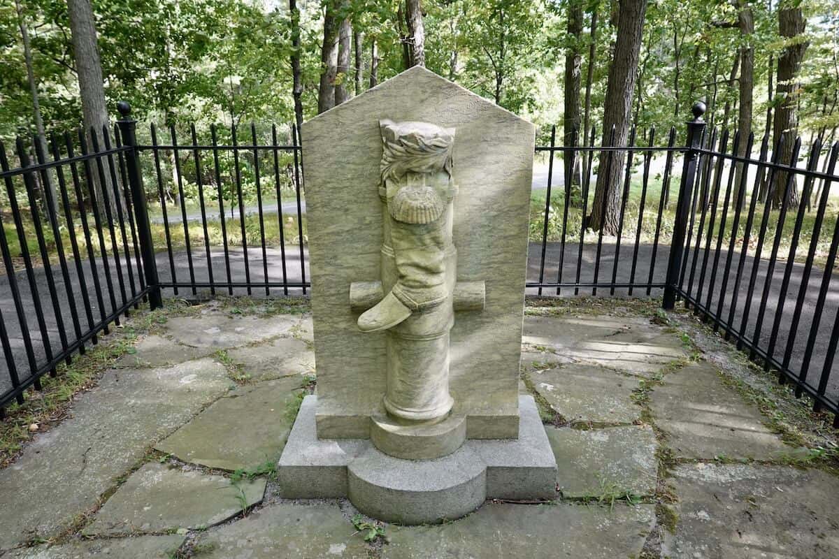
Stop #7 Breymann Redoubt
After failing to take the Balcarres Redoubt, the Americans conquered this British redoubt — perhaps because 1) it was not as robustly constructed, and 2) many of the Redcoats had already retreated to the Balcarres Redoubt.
After parking your car and heading up the trail, take the first path on the left (or stop on your way back to your car) to a unique monument: the Boot. This monument (with a representation of Benedict Arnold’s leg that was badly wounded here during the battle) was erected in 1887 by John Watts de Peyster who admired Arnold’s valor during the Battles of Saratoga. Arnold was tried for treason a few years after the battles here, and the monument does not carry Arnold’s name.
Stop #8 Burgoyne’s Headquarters
British General Burgoyne established his headquarters in this area. The size of the tents reflected the military stature of its occupants: large tents were erected for Burgoyne’s lodging and headquarters; smaller tents in the area were for the soldiers. Today there is an expansive field to view and the red-topped posts noting the British defensive line.
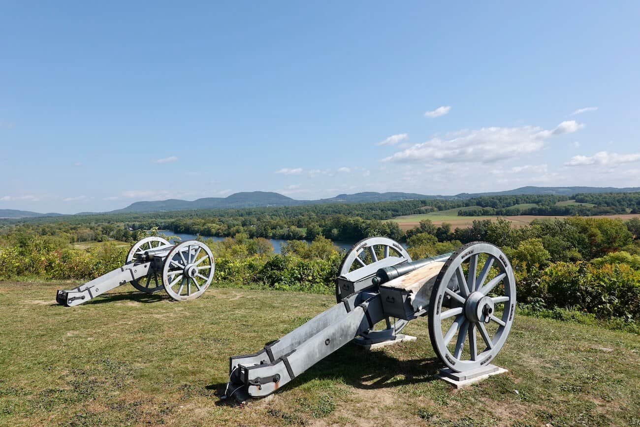
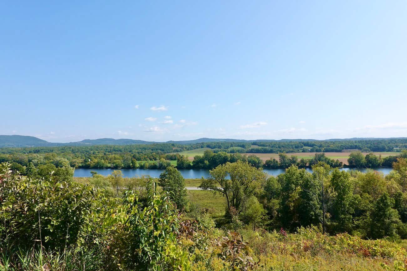
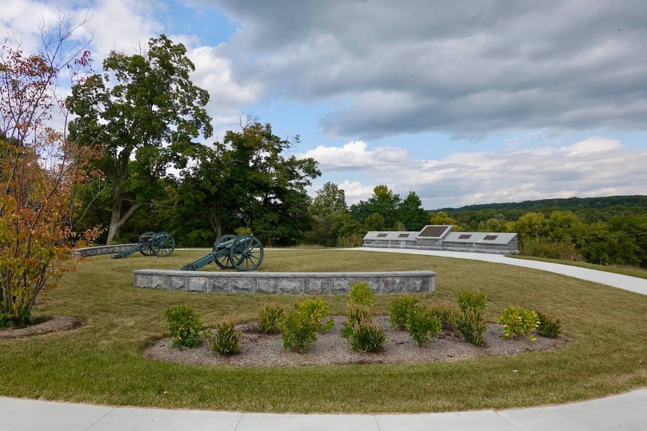
Stop #9 The Great Redoubt
The strongest of the three British forts, this one boasts gorgeous views of the Hudson River. This defensive spot sheltered the British hospital, baggage train, and artillery park. Across the river are the Green Mountains of Vermont. These are the best views in the park, so plan on spending a little time here. In addition, there are picnic tables at this stop, so you can enjoy a little break while soaking in the amazing vistas.
Stop #10 Fraser Burial Site & Trail
Another beautiful view is yours at this site where British General Burgoyne buried Brigadier General Simon Fraser on October 8, a day after he had been mortally wounded. After burying Fraser, Burgoyne and his troops retreated northward under the cover of night. There is a short trail down the hill with information posted along the way.
After having left the battlefield, the British were soon surrounded by and fired upon by American troops. Realizing the inevitable, Burgoyne surrendered to Gates on October 17, 1777.
This victory for the Continental Army helped build support for the American cause. It was soon after that the French declared war on the British and provided the Americans with much-needed expertise, an army and navy, and armaments.
Once you’ve concluded the battlefield tour, drive north along Route 4 to reach related sites key to the Battles of Saratoga (more on these below): the Surrender Site, the Saratoga Monument, and Schuyler House.
Tips for Your Battlefield Visit
- A narration of the battlefield stops is available on your cellphone or by downloading it before your visit.
- The restrooms are at Stop #2 and Stop #7.
- Picnic tables are at Stop #7 and #9.
- There are trails to explore at some stops, so wear comfortable shoes.
- Visitors can also choose to bike or hike the battlefield.
- Expect to spend 2-3 hours driving to the different stops, getting out of the car, looking around at the monuments, and maybe even having a picnic.
Battlefield Map
A few miles north of the battlefield lie a few more interesting sites associated with the Battles of Saratoga.
Saratoga Surrender Site
Located on Route 4, one mile south of Schuylerville
This monument signifies the place where General Burgoyne surrendered to the Americans. There are several quotes engraved in plaques here, each representing a different stakeholder to the conflict: a British soldier, an American private from Massachusetts, American Major General Horatio Gates, and Lady Frederica Riedesel, the wife of a Burgoyne’s German commander who stated, “I was comforted to notice that nobody glanced at us insultingly…and some of them even looked with pity to see a woman with small children there. I confess that I was afraid to go to the enemy, as it was an entirely new experience for me.” (It was not unusual for the military to have “followers” such as wives and children along during combat.)
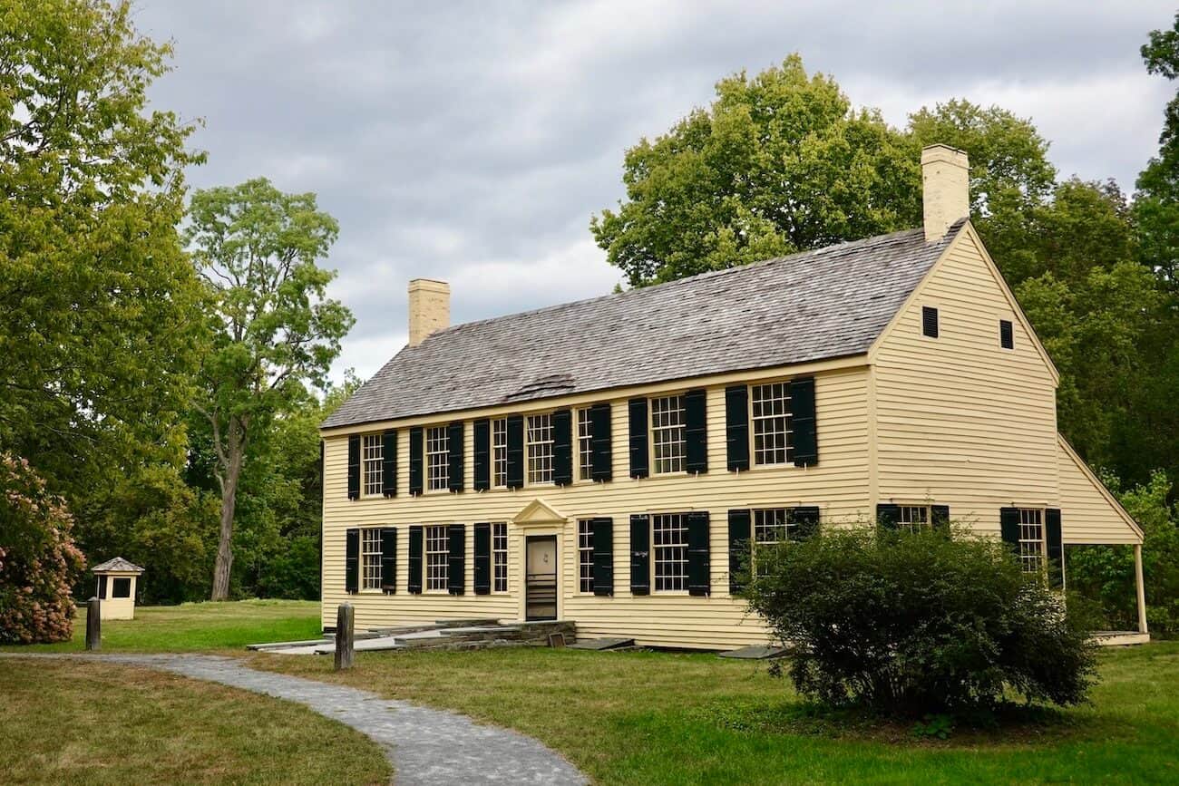
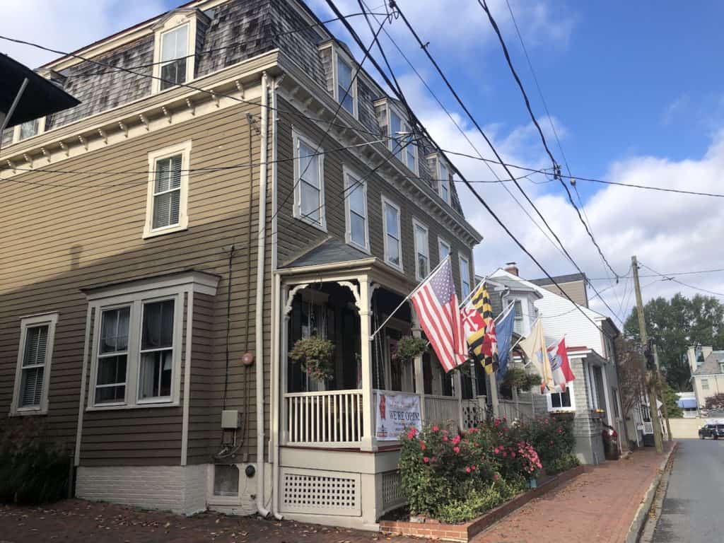
Schuyler House
Located at 4 Broad St, Schuylerville
American General Philip Schuyler, a wealthy landowner and a member of the Continental Congress, lived here at the time of the Battles of Saratoga. After the defeat at Saratoga, British General Burgoyne had his troops burn down this house as they retreated following the surrender. As it turned out, Schuyler began rebuilding the home within months; what you see today is what it looked like in 1777.
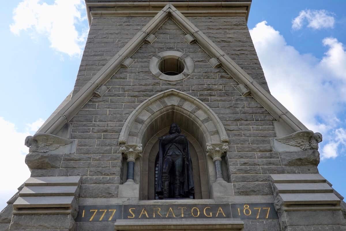
Saratoga Monument
Located on Burgoyne St, Schuylerville
In Prospect Hill Cemetery, you’ll find the Saratoga Monument, a 155-foot-high obelisk that commemorates Burgoyne’s surrender following the two battles at Saratoga. Notably, each of the obelisk’s four sides features niches for statues. Three of these niches honor the American generals responsible for the victory, while the fourth remains empty, symbolizing Benedict Arnold, who, although he played a key role in the American triumph, later betrayed the cause by joining the British side.
From the monument is a trail leading to Victory Woods.
Victory Woods
Located near Burgoyne St, Schuylerville; park in the lot for the Saratoga Monument
Exhausted after their defeat at Saratoga, the British retreated to this 22-acre area before finally surrendering on October 17, 1777. The trail has informational signs along the way.
Nearby Attractions
Not far from the battlefield are other nearby historical sites of interest including Fort Ticonderoga, Fort William Henry, and Grant Cottage. Also, consider visiting the delightful city of Saratoga Springs with its beautiful parks, interesting mineral springs, spas, and many things horses — the Saratoga Race Course and the National Museum of Racing. And, of course, there’s plenty of great shopping and a variety of appealing dining options — many along Broadway, the main drag in town.

Final Thoughts
A visit to the Saratoga battlefield is important to understand the major battles between the British and the Continental armies that would have a lasting impact on the outcome of the war — and of the American push for independence from the British. It set the Americans up for later success by encouraging the French and other European countries to come to the aid of the American cause and later help defeat the British once and for all in Yorktown in 1781.
Driving through the battlefield while listening to the narration helps one reflect on this pivotal point in early American history. It’s a few good hours spent while enjoying the natural beauty of the area.
Comments
Feel free to share suggestions about visiting Saratoga National Historical Park and nearby sites. Your thoughts can help other readers. Thank you!🙂


Thank you for this great post! I hope to make a trip to the battlefield this spring and I really appreciate the tips and info!
You’re welcome, Amy! The battlefield is very interesting. Also, there are other compelling historical sites in the area and, of course, lovely Saratoga Springs. I hope you have time to enjoy all that the area has to offer. (Check the link near the end of the post for more information on other interesting historical spots and Saratoga Springs.)